Service
Record millions of data points and generate a ‘cloud’ of coordinates in a three-dimensional space
A Point Cloud Survey is an advanced method of capturing spatial data with incredible precision. Through this technique, millions of points are recorded, generating a ‘cloud’ of coordinates in a three-dimensional space. Each point within this “cloud” represents a specific location on an object’s surface, which, when compiled, constructs a highly detailed digital representation of the subject. When linked to the domain of topographical surveys, it offers a cutting-edge way to map and analyse terrains, buildings, and other features with unmatched detail. Using a Point Cloud allows for more detailed analysis, using standardised tools and workflows. Point Clouds tend to be the preferred format for starting a “scan to BIM’ workflow.
Traditionally, a Point Cloud resulted from using a terrestrial scanner, or a coarse arial survey. However, driven by the need for reliable sensors for the automotive industry, sensors have become smaller, lighter, more accurate and more reliable, meaning more sensors can now be used on a UAV. The advent of drones has transformed the landscape, offering numerous advantages:
Enhanced Precision: Drones equipped with LiDAR (Light Detection and Ranging) technology can capture vast areas in great detail, ensuring that Point Cloud Surveys are exhaustive and accurate. RUAS also use RTK corrections and ground control to ensure the highest accuracy possible.
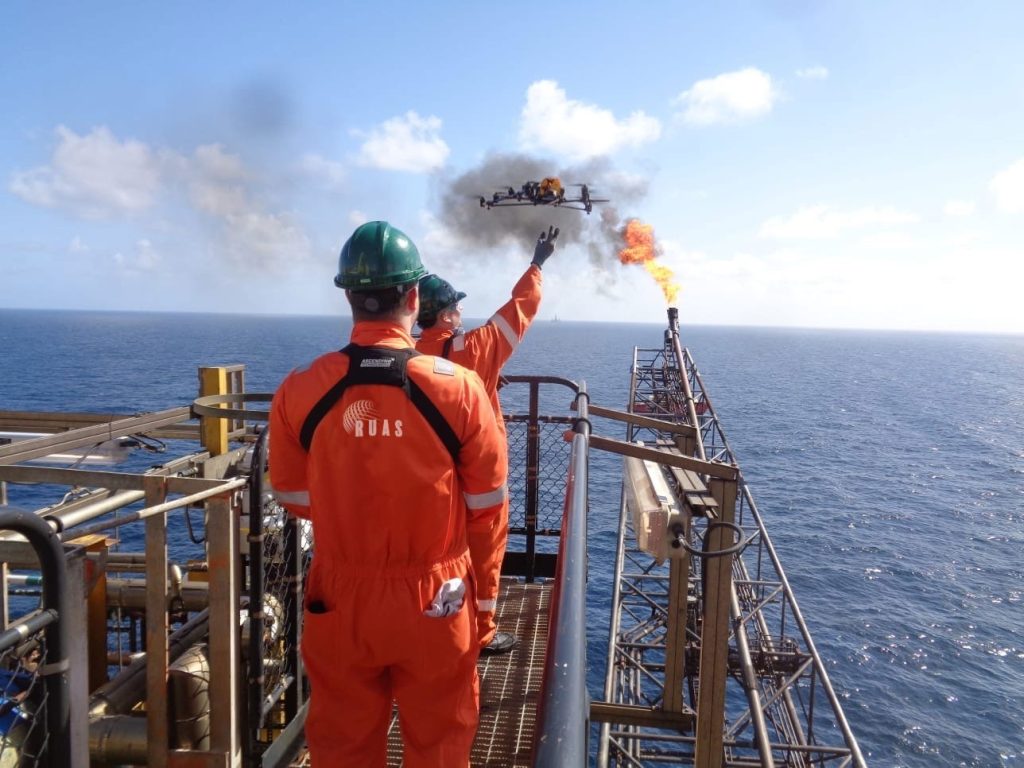
Increased Accessibility: Often, there are locations that need to be made easier to reach. Drones eliminate these challenges, ensuring every nook and cranny is recorded.
Efficiency and Time-saving: Drones can survey areas quickly, reducing the time and resources traditionally required for terrestrial methods.
Cost-effective: Utilising drones translates to fewer ground personnel and equipment, which inherently results in cost savings and time spent on site.

Why choose RUAS for your Point Cloud Survey needs? The reasons are manifold:
Expertise in Modern Surveying: Our team, backed by years of experience, specialises in leveraging drones for topographical and Point Cloud Surveys across diverse terrains and settings.
Pioneering Technology: RUAS is at the vanguard of integrating cutting-edge drone technology, ensuring that our Point Cloud Surveys are both state-of-the-art and reliable.
Comprehensive Data Interpretation: Beyond just data collection, our experts meticulously analyse the amassed point clouds, offering insights and actionable results tailored to your project.
Prioritising Safety and Compliance: RUAS is committed to upholding all safety standards and regulations, ensuring that every survey is conducted seamlessly and responsibly.
To appreciate the value of Point Cloud Surveys, one must understand their multifaceted applications:
Infrastructure Planning and Development: Architects and engineers can glean detailed insights, ensuring designs are both innovative and feasible.
Heritage Conservation: Historic structures can be mapped with precision, aiding restoration and preservation efforts.
Environmental Analysis: Detailed topographical data can assist environmentalists in understanding terrains, aiding in conservation and research.
Legal and Property Documentation: Point Cloud Surveys can play a pivotal role in boundary delineations and land disputes.
Choosing RUAS means not just opting for a service but forming a partnership dedicated to excellence. From our advanced equipment to our team of professionals, every facet of our operation is geared towards providing unmatched Point Cloud Survey solutions.
We have a tried and tested process that’s safe, secure and guarantees great results every time. Learn more about our process and how it can really help you.


experience


Case study
RUAS the UAV Division of Railscape Ltd., one of the UK’s leading Commercial Drone Service & Training Providers, are a Newport (South Wales, UK) based company. The addition of UAPS to the range of services RUAS can offer reinforces its position as a Commercial Drone Service and Training Industry leader.

Article
Digital twin technology has the potential to transform the oil and gas industry, enabling operators to optimise their operations, reduce costs, and improve safety. Laser scanning and drone technology play a critical role in creating high-detail digital twins, providing accurate data that can be used for various applications. With the increasing adoption of digital twin technology, the oil and gas industry in the UK is poised for significant advancements in the years to come.