Service
With trusted methods and technology to capture and process the data that’s important to you quickly and effectively
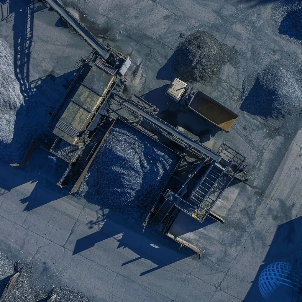
A topographical survey or land survey is an accurate representation of the area of interest showing all natural and manmade features with levels. Shown as three-dimensional points all features including the property, land features and physical boundary details are presented on a scaled survey drawing.
We understand that with anything that requires specialist attention, you want to be able to feel confident and at ease with how you have decided to gather your topographical survey data. Using the latest aerial surveying equipment, our fully qualified pilots will capture the site features and then process the information through our software.
Whether by using drone technology and software or by combining with other traditional surveying methods, RUAS is the right choice for your drone topographical survey, working with you from start to finish. We will discuss our methodology through particularly diverse gradient transects, spot heights of surrounding land and site features and more.
That’s why at RUAS we are able to rise to meet our clients’ expectations and adapt our range of aircraft and approach to suit their specific needs, excelling through the many years of success we have had in this area.
We have a tried and tested process that’s safe, secure and guarantees great results every time. Learn more about our process and how it can really help you.


experience